
Set your distance, choose your route type, generate in seconds
Imagery © Mapbox © OpenStreetMap
More ways to shape a ride
The weather data you've always needed, in one place.
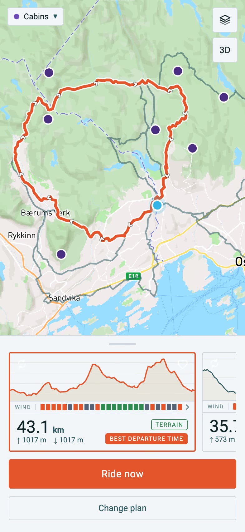
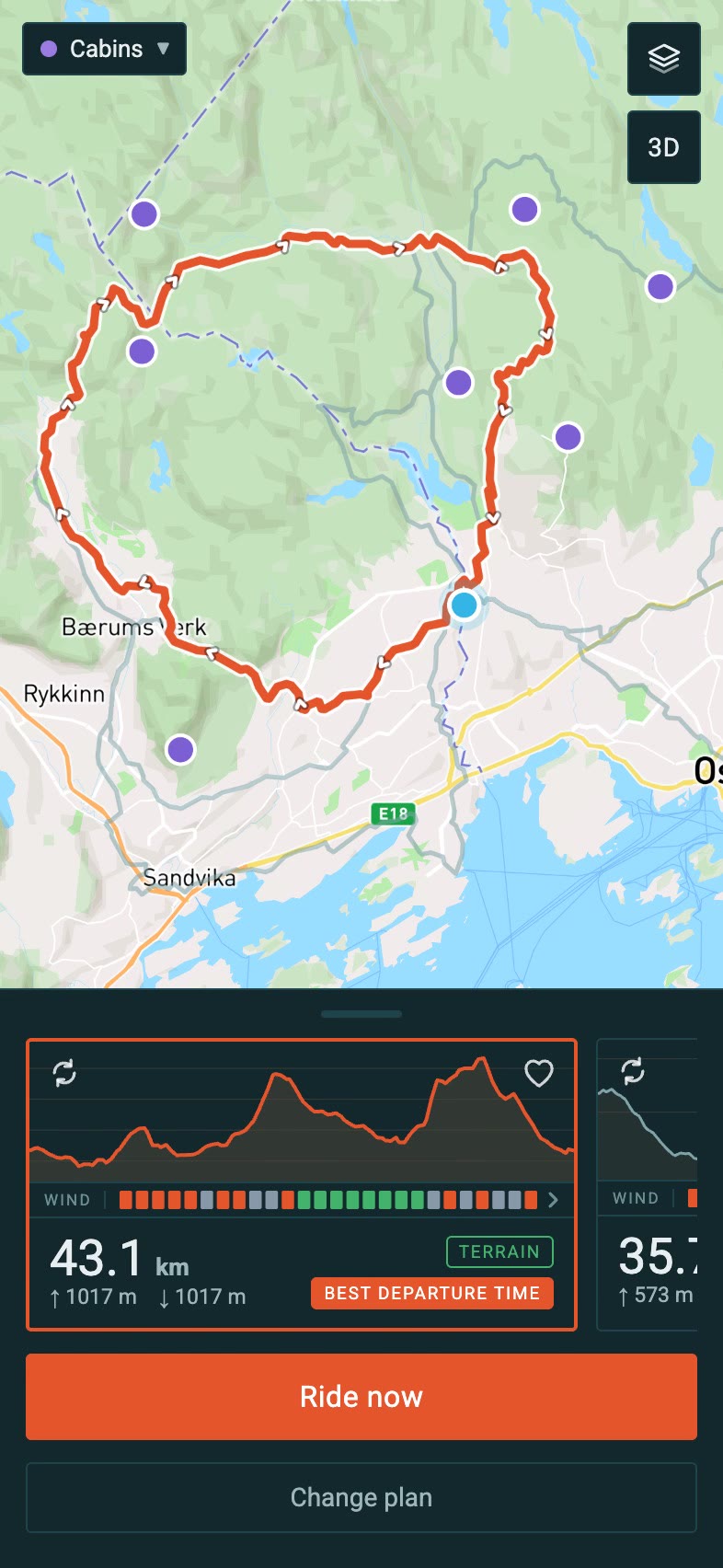
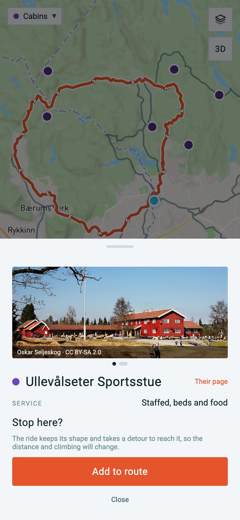
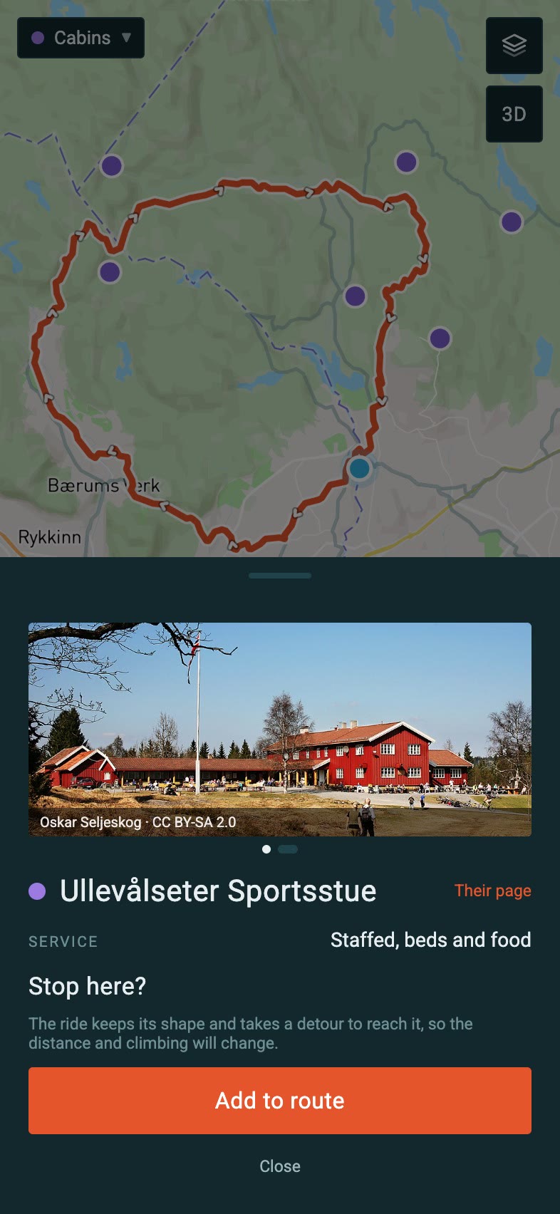
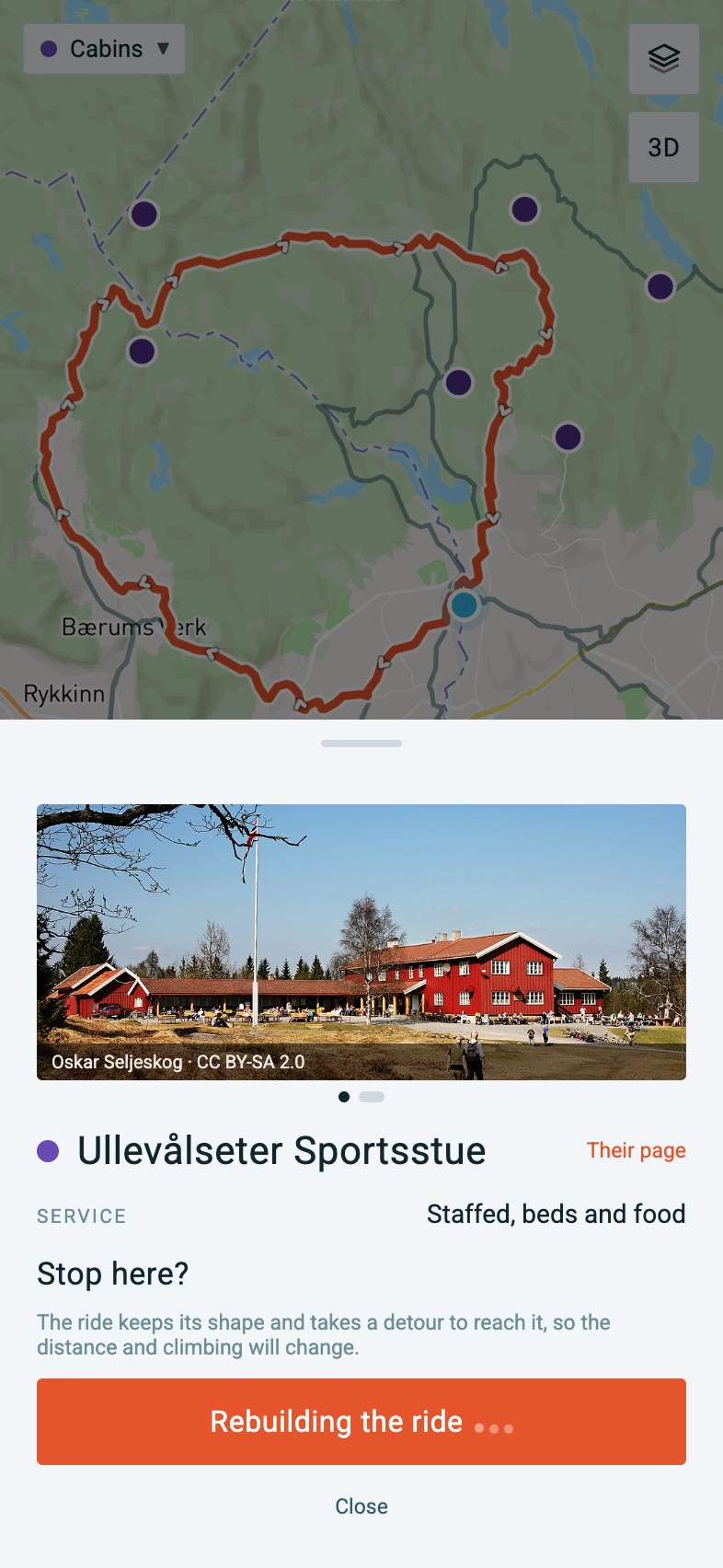
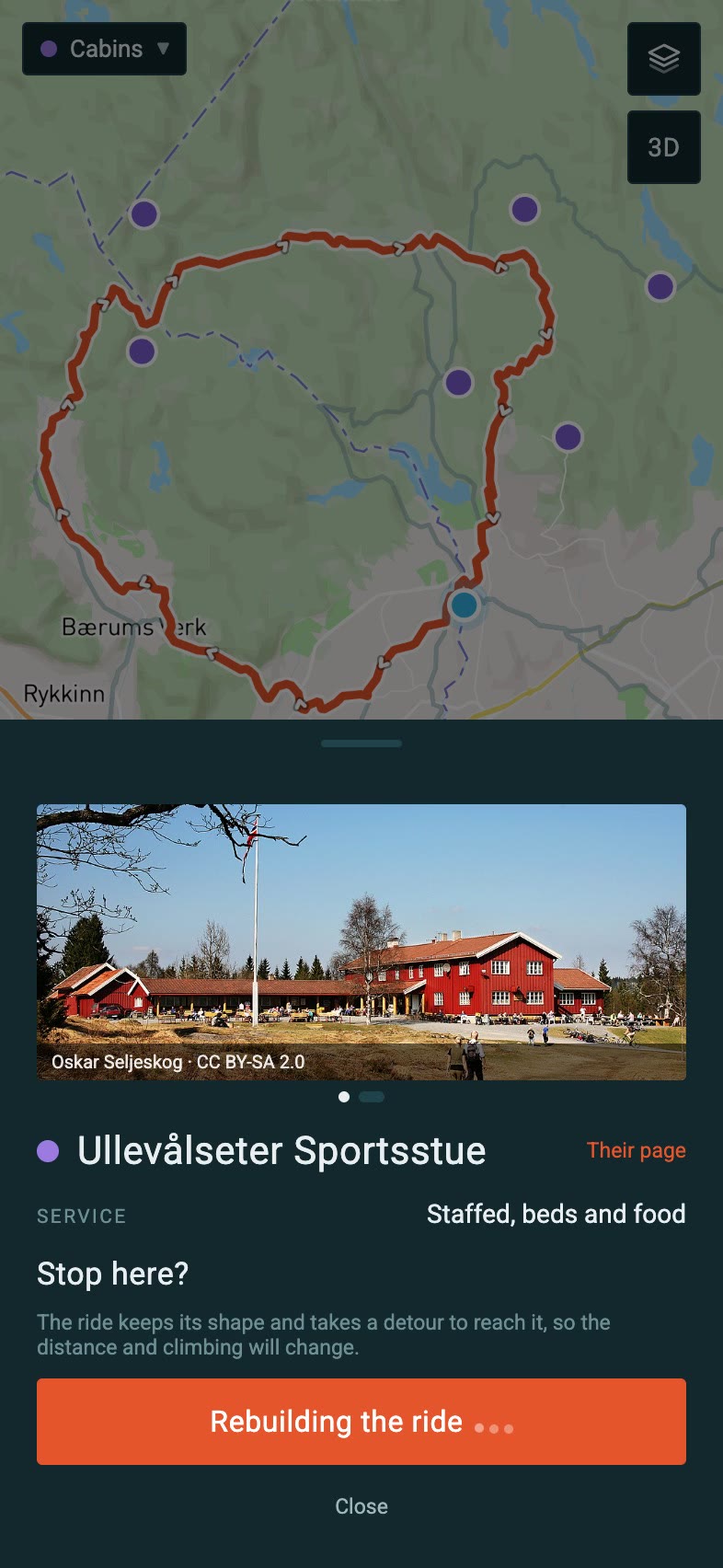
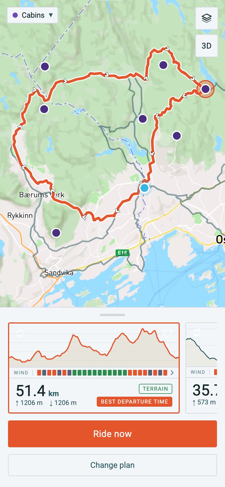

Find a place on the map and add it to the ride
Cabins, saunas, swimming spots and campsites sit on Linje's map as layers. Tap one to see what it is, then put it in the ride in two taps.
- 1Tap the cabinA 43 km loop from Røa, with the Cabins layer on. The purple dot just off its north-eastern corner is Ullevålseter Sportsstue.
- 2Read its pageWhat OpenStreetMap and the cabin's own site say about it.
- 3Add it to the rideLinje rebuilds the loop to go through the cabin and says what it changed.
Plus the essentials, covered
- Save routes
- Schedule rides in a calendar
- Import a GPX, matched to the roads
- Export a GPX for your bike computer
- Offline maps for saved routes
- Turn-by-turn directions
Questions
Where does Linje work?
Norway and the UK. In Norway you get the terrain check, plus cabins, saunas and moose sightings on the map. In the UK you get swimming spots, campsites and pubs. The terrain check needs Norway's national snow and rain data, so it isn't in the UK yet.
Is it on iPhone?
Not yet. Android comes first. The web version works in any phone's browser in the meantime.
Will it send me down hiking trails?
No. Paths graded for walkers are left out, even when the map calls them paths.
Does it work without signal?
Yes. Make a saved route available offline and its map stays on your phone.
Can I use it with my bike computer?
Export any route as a GPX file, or import one of your own.
How does Linje make a route?
It draws a shape with three to five corners around your start, routes it on OpenStreetMap, measures what comes back and reshapes it until the distance is right. Then every ride is checked: close to the distance you asked for, no doubling back, no ferries, and it keeps off hiking trails. Only the ones that pass are shown.
Where does the data come from?
OpenStreetMap for the roads, trails and places. MET Norway for the hour-by-hour forecast. NVE's snow and rain history for the terrain check in Norway. Kartverket and OpenStreetMap for the lit trails, and GBIF for moose sightings. Every source is named in the app.